Higher Degree by Research Application Portal
| Title | Automatic domaining of geospatial data |
|---|---|
| Supervisor | Prof Mark Jessell |
| Dr Mark Lindsay | |
| Course | Doctor of Philosophy |
| Keywords | Geoscience |
| Data Analytics | |
| Research area | Earth Sciences |
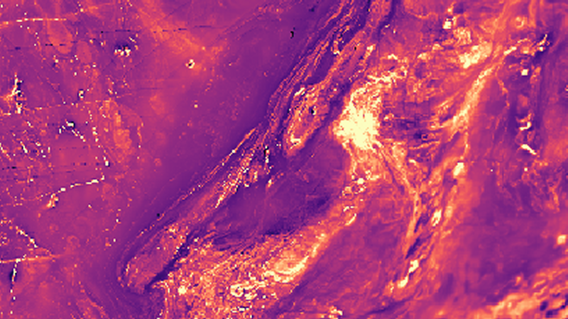
| Project description | Our ability to build 3D geological models depends on both data availability and our ability to subdivide the geology into coherent domains, since current software platforms typically struggle to cope with more than one system at a time. This project will focus on developing algorithms that assess single or multiple geological (including maps and structural observations) and geophysical datasets (including gravity and magnetic observations) to assess the position and nature of natural spatial boundaries within the data. We primarily will focus on 2D representations without excluding the possibility of incorporating existing work on domaining in drillhole data. We will investigate both the methods of domaining and their reliance on well-distributed and/or dense data. the This project will be carried out within the framework of the MinEx CRC and the Loop Consortia, two multi-partner industry collaborations that seek to improve our ability to build 3D geological models. Supervisors will include researchers at UWA and the CSIRO.
|
| Opportunity status | Open |
| School | Graduate Research School |
| Contact | Prof Mark Jessell mark.jessell@uwa.edu.au |
| Course type | Doctorates |
| Description | The Doctor of Philosophy (PhD) is a program of independent, supervised research that is assessed solely on the basis of a thesis, sometimes including a creative work component, that is examined externally. The work presented for a PhD must be a substantial and original contribution to scholarship, demonstrating mastery of the subject of interest as well as an advance in that field of knowledge. Visit the course webpage for full details of this course including admission requirements, course rules and the relevant CRICOS code/s. |
| Duration | 4 years |
Guidance